Tag: coptersonde
-
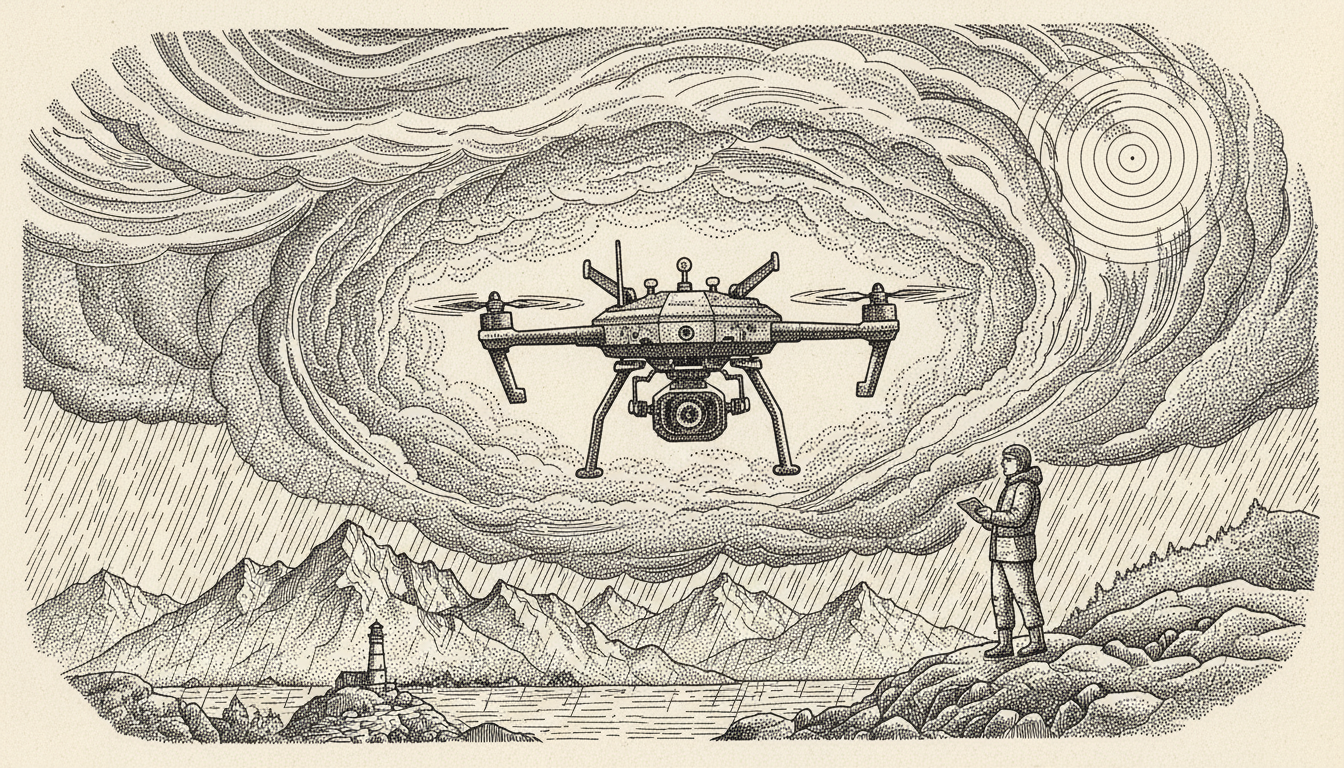
How Meteorologists Use Drones to Improve Storm Forecasting Accuracy
Researchers are deploying specialized drones into the heart of supercell thunderstorms to bridge a critical data gap in meteorology. Current radar systems struggle to monitor the lowest 2,000 feet of the atmosphere, where tornadoes often form, due to the Earth’s curvature and physical obstructions. By flying rugged, sensor-equipped aircraft like the Caelus directly into storm…